
West Seneca Neighbors by Parcel
The public record for an immediate block is a property trail. It starts with a known address in the county's tax or map route, identifies the parcel and SBL, then checks adjoining parcels one at a time. That method can document parcels that visually touch and owners of record. It cannot yield a household count, a current occupant list, or a complete list of West Seneca neighbors. An estate, trust, or business can be the owner. A mailing address can be somewhere else. The source and date should remain attached to every block note.
| Source | What It Shows About a Block | Access |
|---|---|---|
| Erie County On-Map | Parcel outlines that visually touch, roads, districts, imagery, and parcel query context | Manual address search and one-at-a-time query; no verified public radius or bulk-neighbor tool. |
| Tax Inquiry and parcel roll | Assessed owner, SBL, situs, owner mailing distinction, values, and selected transfer references | Erie County property route; owner is not automatically the occupant. |
| Recorded deed chain | Grantor, grantee, recording date, legal description, and instrument history for an identified parcel | Erie County Clerk BrowserView; no ordinary street-address search. |
| Historic Haines or suburban directory | A listed person at an address in the right title and year | B&ECPL Grosvenor Room; historical and coverage-specific. |
| Town permit or code file | Owner, applicant, contractor, work type, or inspection history at one parcel | Code Enforcement counter or focused Town FOIL request; no online case listing was found. |
Use this table as a boundary on the work. It distinguishes a parcel owner from an occupant and a historic directory entry from a modern property record. Voter data do not fill that gap. NYS VoterLookup is a self-lookup, and county voter-data requests have an elections-purpose rule. The result is a measured way to understand the block's recorded property history without creating a neighborhood roster.
Map West Seneca Neighbors Manually
Erie County's On-Map viewer is the practical starting point. Its configured public parcel queries include Owner, Address, and SBL. Search the selected address, record its SBL and situs, then zoom to the parcel polygon. Inspect only the parcel outlines that actually touch the selected polygon. For each adjoining parcel, run its own query and record the owner-of-record, mailing-versus-situs field, source date, and any Book/Page or deed reference. A simple worksheet is more defensible than copying names from a map screen.
- Enter the known address in the RPTS or On-Map address route and preserve the returned parcel's address and SBL.
- Zoom to the parcel outline, identify each contiguous polygon, and confirm the street alignment or corner against the tax map or legal description.
- Query each touching parcel separately. Label the result as assessed owner or mailing information, never as a household list.
- Use a parcel's Book/Page, file number, legal description, or SBL to continue to the County Clerk when recorded transfer history is relevant.
For a long named-street record trail rather than the immediate block, use the West Seneca street records route. It follows the address-to-parcel-to-document bridge in more detail. The neighbor method stops at the adjoining parcels because the public interface has no verified bulk street selection or general radius feature.
The Erie County On-Map viewer shows the parcel context and layers used for this manual approach.
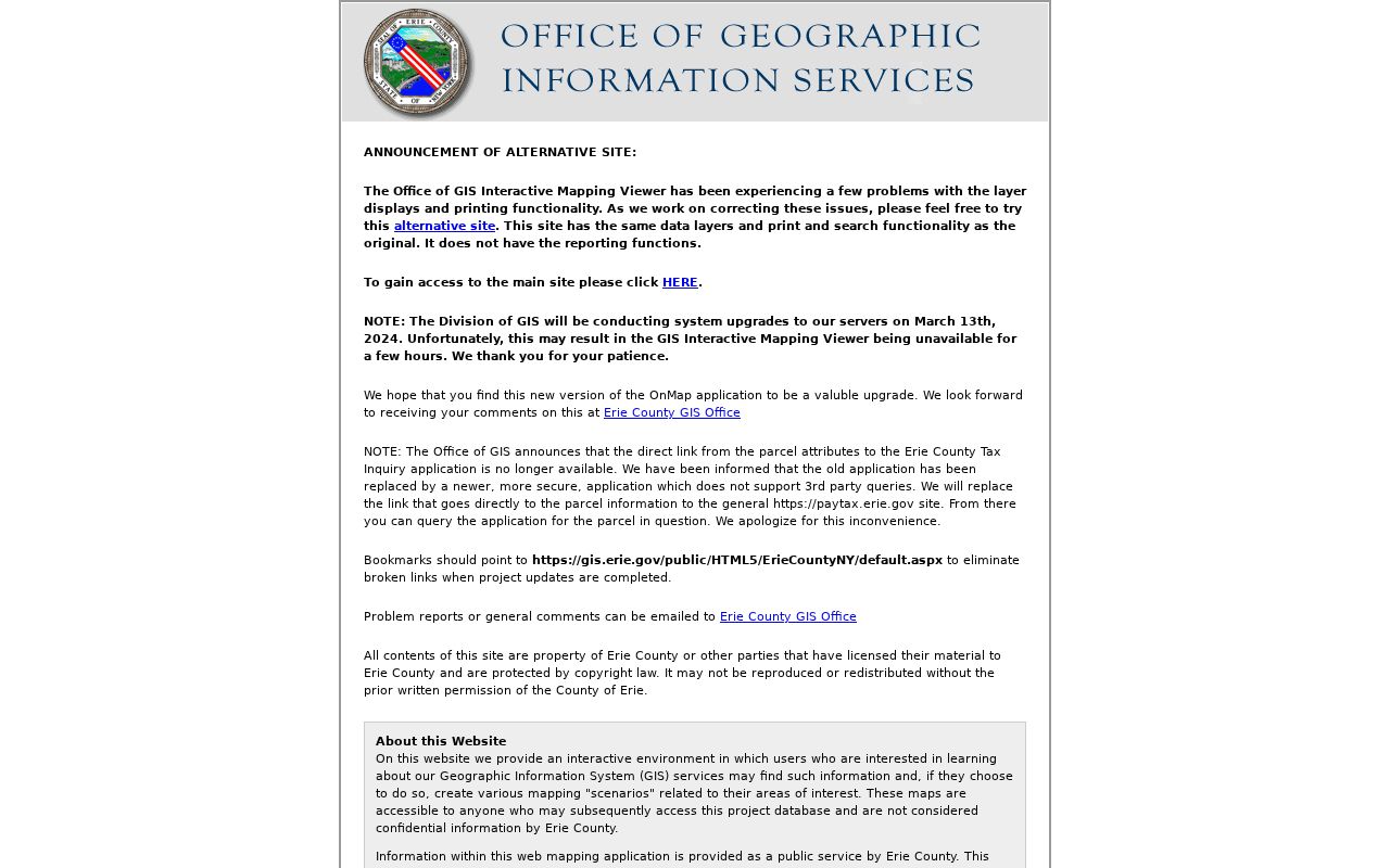
On-Map provides viewing and query context, but Erie County says its parcel geometry and coordinates are not a legal survey. A fence line or a screen edge is not enough to declare two parcels legally adjacent.
West Seneca Parcel Map Quirk
The important local quirk is not a hidden neighbor button. No public On-Map radius, buffer, bulk street-selection, or neighbor-list tool was verified. The viewer's parcel layer supports advanced query and pagination at the service level, but that does not establish that the public interface exposes a broad residential result. The responsible method is deliberately slower: one selected parcel, visible touching outlines, and an individual query for each adjoining parcel.
On-Map also carries aerial imagery, roads and highways, municipal boundaries, ZIP polygons, school, legislative and election districts, flood and wetland layers, soils, and agricultural districts. Those layers can explain why a road, creek, district line, or postal label changes the apparent shape of a block. They do not replace the tax map, legal description, or a survey. If the boundary has a legal consequence, use the appropriate custodian or a surveyor instead of a map image.
Note: Save a dated map image and its visible layer state when a visual parcel relationship needs later review, then verify it against the legal record.
West Seneca Owners and Occupants
County parcel records separate fields that are often mistaken for one another. ADDNUM, ADDNAME, and ADDRESS identify the situs, or the parcel's physical location. OWNER1 and OWNER2 identify the assessed owner. MAILAD1, MAILAD2, street, city, ZIP, and ZIP4 are correspondence fields for that owner. LOCALZIP is the parcel's local ZIP, not the owner's mailing ZIP. An owner can be an individual, estate, trust, or entity. A parcel card therefore supports an ownership question, not a conclusion about everyone who lives there.
BrowserView supplies the recorded-instrument side of the trail. It offers party, document type, Town, date, consideration, instrument number, Book/Page, lot/block, legal-description, map, and parcel modes. It does not use a normal street address as its search key. Start with a parcel bridge, then compare document parties, legal description, record date, and linked documents. The county's online deed index begins in 1986, while deed images begin in 1960; older work goes to the Clerk's book and counter routes.
Renters, other household members, utility customers, delivery information, and DMV data are not a public parcel layer. A missing person name is not evidence that the person has no connection to the block.
Historic West Seneca Neighbors
A past block can be studied through dated sources after the correct parcel and time period are known. B&ECPL's Grosvenor Room identifies Haines Directory for all Erie County from 1968 onward and town-arranged Erie County voter-registration directories for 1926 through 1971. It also holds named suburban series that are more appropriate for West Seneca than assuming Buffalo city coverage. A directory entry can connect a listed name and address for that edition, but it cannot establish a present household or fill a gap in a volume's geographic coverage.
Search historic catalogs under more than one locality name. The Town began as Seneca in 1851 and became West Seneca in 1852. Material can also appear under Ebenezer, Gardenville, Blossom, Cheektowaga, Hamburg, or East Hamburg depending on the period and collection. Census, church or cemetery guides, newspapers, maps, and estate records can help anchor a directory listing to a date. They should be reconciled with the address and legal description, not treated as a substitute for a current parcel check.
West Seneca Community Contacts
There is no discovered Town-published HOA, neighborhood-association, or umbrella member roster for a neighbor search. That absence matters. It prevents a claim that a public association list can identify homes on a block. The West Seneca Historical Society and the West Seneca Library Friends group offer community and historical contact, not a current member directory. Churches, yearbooks, cemetery guides, and veterans material can supply historical context only when their own access and privacy terms allow it.
West Seneca Historical Society
Founded in 1946, the society maintains a museum at 919 Mill Road and connects researchers with the Town Historian. It is a contact for Ebenezer, cemetery, house, and family history, not a roster of present neighbors.
Town Historical Society contact | 716-674-4283
West Seneca Public Library
The branch at 1300 Union Road is a local starting point for its in-library yearbook collection and referrals to B&ECPL special collections. Ask staff for a particular volume rather than assuming a complete alumni list.
Phone: 716-674-2928
The West Seneca Historical Society page provides the museum and historian contact used for local context.
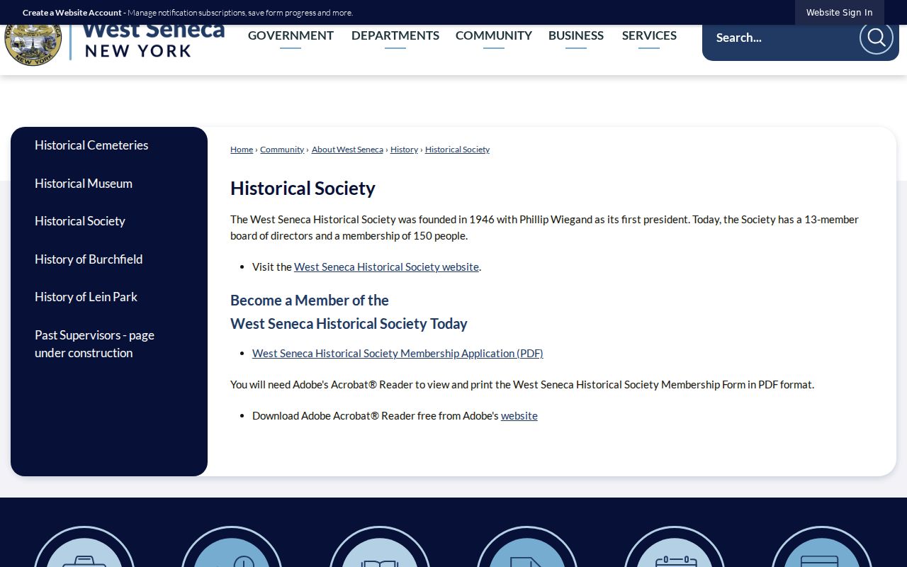
Historical Society material can help explain a place or family connection on a block. It should not be transformed into a list of current participants or households.
West Seneca Neighbor Tools Compared
Official and commercial neighbor tools have different limits. The official parcel route gives source-specific ownership and geography that can be checked with Erie County. It does not identify all residents. Commercial people-information products may combine incomplete or stale material from several sources and can merge similar names. Neither category turns private household data into a reliable block list. For a historical question, dated library collections may be more useful than either current-looking result.
| Route | Useful for | Does not establish |
|---|---|---|
| Official parcel and deed records | Parcel geography, assessed owner, and recorded transfer trail | All people living at an address. |
| Historic library directories | A listed name or household in a specified edition and year | Present occupancy or coverage outside that volume. |
| Commercial people-information category | A possible lead that still needs source confirmation | A verified identity, current connection, or complete block history. |
NYS VoterLookup is another separate category. It is a registered voter's own check, not a public neighbor tool. Election Law §3-103(5) limits voter-registration data to elections purposes. Erie County's voter-data request form asks for a declared purpose and geography and includes a noncommercial-use certification. Historic voter directories may record a dated listing, but they do not reveal ballot choices or make a modern block roster lawful.
West Seneca Neighbor Privacy Limits
New York protections must remain visible in any discussion of nearby parcels. The Address Confidentiality Program, Executive Law §108, gives qualifying participants a substitute mailing address and requires government agencies to protect the actual address except under limited conditions. Confidential voter registration under Election Law §5-508 is separate from public inspection and copying for four years, subject to renewal. These rules help explain why a name or address may be absent from a public-facing record.
The New York confidential voter registration information describes the protected voter route. It is not an alternative source for household research.
Keep protected records, non-owner occupants, utility and delivery data, DMV information, juvenile or Family Court material, and redacted personal details outside a block worksheet. When a map or document does not answer a question, ask the custodian about the record's lawful access route rather than trying to assemble private information.
Lawful use. Use West Seneca parcel and historical records for personal, lawful research. Stalking, harassment, threats, or intimidation of another person can violate New York law.