
West Seneca ZIP Code Directory Coverage
West Seneca is not a one-ZIP Town. Erie County's On-Map ZIP layer and municipal-boundary intersection show nine ZIP polygons touching the Town: 14043, 14059, 14127, 14206, 14210, 14218, 14220, 14224, and 14227. That is an intersection inventory, not a promise that every address or neighborhood in a listed polygon uses that ZIP. The County's layer uses Census ZIP geography, which helps show broad postal overlap but cannot certify mail delivery to a particular house. A full street address entered in USPS's lookup remains the final check.
| ZIP | Postal city or reference | West Seneca relationship | Record-search caution |
|---|---|---|---|
| 14224 | Buffalo; West Seneca Post Office | Principal West Seneca postal area | Buffalo remains the postal city label, so it is not a Town boundary |
| 14210 | Buffalo | GIS polygon intersects the Town | Confirm the full street address with USPS |
| 14218 | Buffalo | GIS polygon intersects the Town | Postal and Town lines can differ |
| 14220 | Buffalo | GIS polygon intersects the Town | Postal and Town lines can differ |
| 14206 | Buffalo | GIS polygon intersects the Town | Do not infer delivery from the Town name |
| 14227 | Buffalo | GIS polygon intersects the Town | No public GIS ZIP-search control was documented |
| 14127 | Orchard Park | GIS polygon intersects the Town | Verify the actual address near the boundary |
| 14043 | Depew | GIS polygon intersects the Town | Intersection only; exact coverage is not asserted |
| 14059 | Elma | GIS polygon intersects the Town | Intersection only; exact coverage is not asserted |
The Erie County On-Map viewer provides the parcels, ZIP polygons, municipal boundaries, and related layers used to understand the intersection.
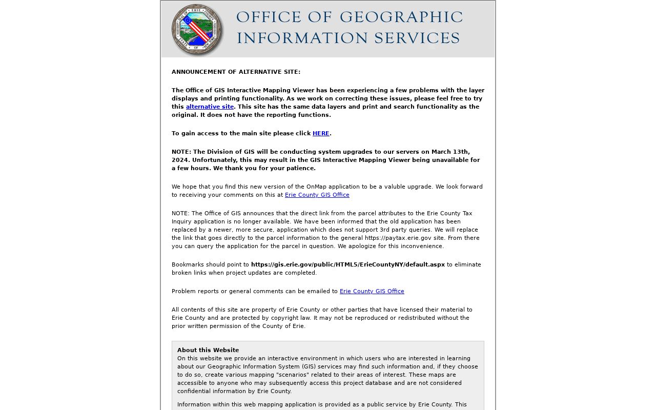
The image shows a mapping environment, not a postal certification. Use the map to see where a boundary may matter, then confirm the precise delivery result with USPS.
West Seneca Postal Labels at 14224
The West Seneca Post Office is a useful local example of the difference between a postal label and a municipal name. Its address is 4300 Seneca Street, Buffalo NY 14224-9998, and the listed telephone number is 716-675-3672. USPS uses Buffalo in the postal address even for the West Seneca Post Office. That fact does not move the post office outside the Town, and it does not mean every 14224 address has the same municipality or record custodian. It simply shows that postal routing and municipal geography are separate systems.
That distinction is especially important when an old letter, a tax-roll mailing value, or a public directory uses Buffalo, Depew, Elma, or Orchard Park as its postal city. Match the parcel's situs and City/Town fields to the Town record before treating a city label as location evidence. This geography is why a West Seneca postal search should begin with an exact address rather than a city-name assumption.
West Seneca ZIP Boundary Contrast
A ZIP map answers a different question from a Town boundary map. The County’s ZIP polygons are Census geography and can touch West Seneca without showing that every parcel in the polygon receives that ZIP. The municipal boundary identifies the Town, while the parcel record identifies a specific property and its City/Town and LOCALZIP fields. USPS then confirms the delivery designation for the full address. Keeping those three layers distinct prevents a postal city label from becoming a false municipal conclusion.
This contrast is especially useful near the Town’s edges, where a West Seneca address can carry Buffalo, Depew, Elma, or Orchard Park in its mailing convention. A map intersection is a reason to verify an address, not a reason to create a list of people or properties for a ZIP.
Verify a West Seneca Address With USPS
USPS is the right source for an individual delivery address. Enter the complete street address, rather than guessing from a ZIP polygon, a Town name, or a nearby postal city. This check resolves the postal ZIP and accepted city label for the address in question. It does not identify the parcel owner, establish occupancy, or replace a county property record. After the postal result is clear, compare it with the situs address and LOCALZIP in the county parcel record when a property question remains.
| Check | Use it for | Do not infer |
|---|---|---|
| Complete street address in USPS lookup | Exact postal ZIP and delivery city label | A town-wide list of addresses using that ZIP |
| County ZIP polygon layer | Broad postal-boundary context | Mail delivery for every parcel near its edge |
| Parcel LOCALZIP field | Property-address ZIP context in the county data | The owner's correspondence ZIP or legal description |
The USPS address lookup is the address-verification route described in the local research.
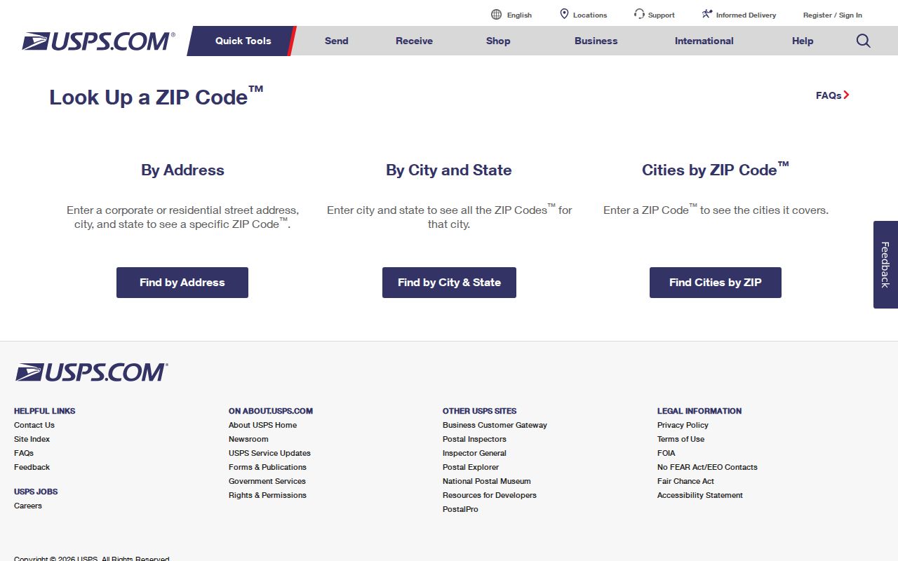
Use the returned result as a postal confirmation. If county GIS or an old document uses a different locality label, preserve both values and check which field each system is describing.
Map a West Seneca ZIP Area to One Parcel
No public West Seneca portal reviewed in the research offers a bulk resident or owner search by ZIP. On-Map has configured Owner, Address, and SBL queries. The parcel service carries LOCALZIP as an attribute, but the public interface has no verified ZIP filter. Erie County Clerk BrowserView works with town, party, parcel, Book/Page, legal-description, and related document fields, not ZIP. New York VoterLookup requires an individual voter's name, date of birth, county, and address, and it is not a general public directory.
- Check the complete address in USPS so the postal ZIP and city label are known.
- Use the On-Map ZIP and municipal-boundary layers to see whether the address is near a postal or Town-line overlap.
- Search the known address, owner, or SBL through the Erie County property-search entry point, then record the returned situs, City/Town, LOCALZIP, and parcel identifiers.
- Use the parcel's SBL, Book/Page, or legal-description bridge when a recorded instrument is needed from BrowserView.
- When the question becomes street-specific, use the West Seneca street directory workflow to continue one address at a time.
County GIS can place a parcel in its setting. It should not be represented as a legal survey, and the displayed coordinates and layers do not replace the recorded legal description.
West Seneca Postal, Parcel, and Mailing ZIP Fields
Several address expressions can appear in one West Seneca record search, and they do not mean the same thing. The GIS parcel schema carries the situs address, assessed owner fields, owner mailing lines, City/Town, and LOCALZIP. A Clerk document can instead rely on lot, block, map, parcel, or legal-description information. Treating each as a separate field prevents a mailing destination from being mistaken for the place where a parcel is located.
| Address expression | Where it appears | Meaning in a West Seneca search |
|---|---|---|
| Situs or street address | GIS ADDNUM, ADDNAME, ADDRESS; tax roll; permit work address | Physical parcel or building location in the Town |
| Owner mailing address | GIS MAILAD1, MAILAD2, mailing street, city, ZIP, and ZIP4 | Correspondence destination for the assessed owner; it can be elsewhere |
| Legal description | Clerk lot, block, map, submap, parcel, and SBL fields | Recorded land description used when an address changes or is absent |
| Postal ZIP and city label | GIS LOCALZIP and ZIP layers; USPS lookup | Postal routing, not legal residence or municipal-boundary proof |
The Erie County parcel-layer schema documents the LOCALZIP, address, owner, and mailing fields available for parcel work.
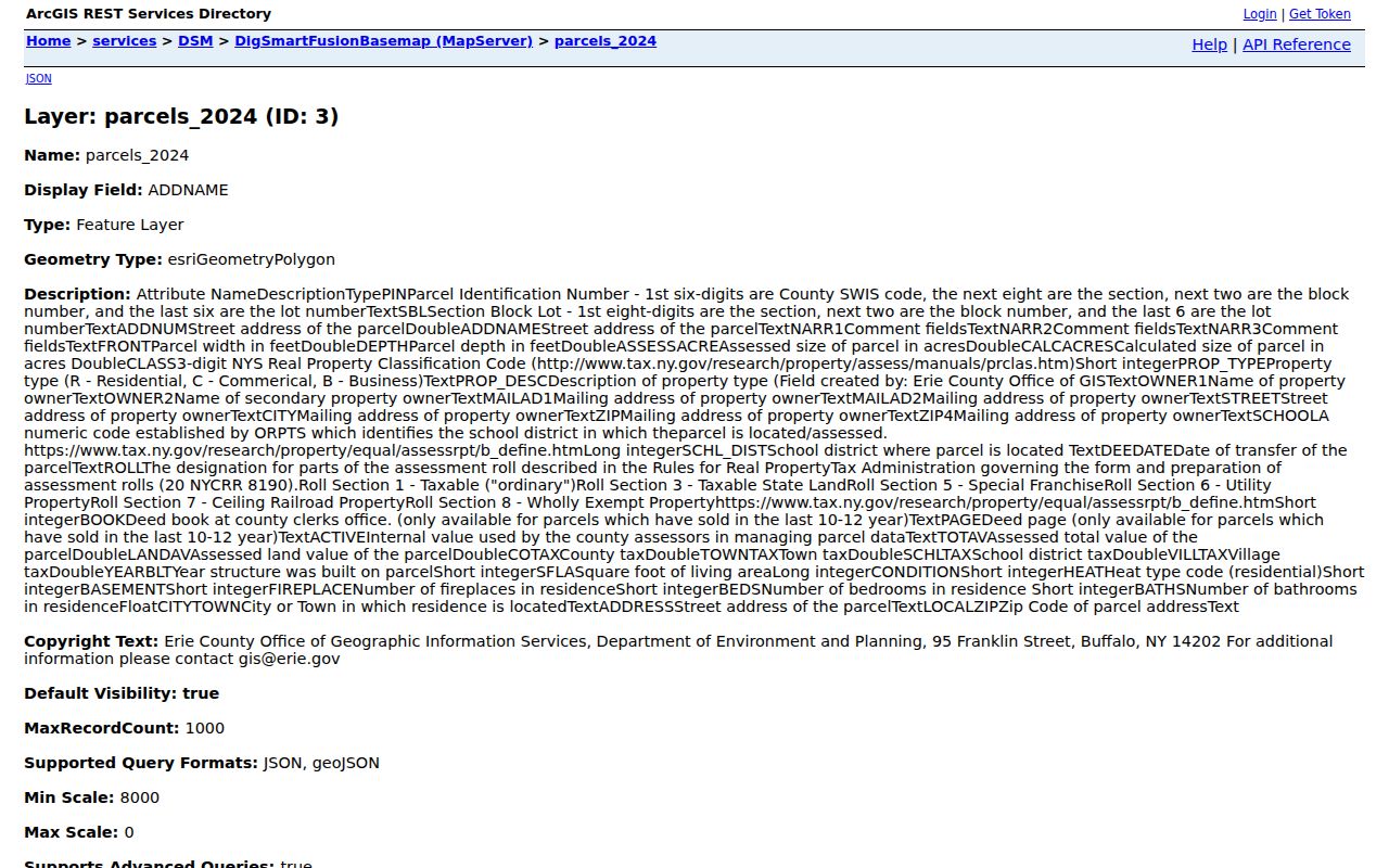
LOCALZIP is a parcel attribute that helps compare county property data to a postal result. It is not a documented public control for selecting every parcel or person within a ZIP.
- ZIP and ZIP+4
- A ZIP routes mail over an area; ZIP+4 adds a narrower delivery segment. Neither is a municipal boundary.
- PO-box ZIP
- A ZIP used for post-office boxes. The research does not identify a West Seneca PO-box-only ZIP, so none is assumed here.
- Unique ZIP
- A ZIP assigned to a single organization or large receiver. No West Seneca unique ZIP was verified in the local research.
- Carrier route
- A postal delivery route. It helps mail operations but is not a public household directory.
West Seneca Locality Names Behind Modern ZIPs
Older address research should account for names that predate modern ZIP geography. The Town was incorporated as Seneca in 1851, changed to West Seneca in 1852, and was formed from portions of Cheektowaga, Hamburg, and East Hamburg. Town history identifies Middle Ebenezer, now associated with Gardenville near Union and Clinton; Lower Ebenezer near Seneca and Union; Upper Ebenezer near Seneca Creek Road, Transit, and Main in the Blossom area; and New Ebenezer around Clinton Street.
A historic directory, newspaper, church register, or map can therefore use Seneca, an Ebenezer community, a hamlet, or a present postal city instead of West Seneca. Search those supported place names alongside the property description when tracking an old address. The research found no official town-wide street-renumbering year or historical ZIP realignment record, so a presumed conversion should not be used.
Note: Modern ZIPs are useful for postal verification, but historic sources are more likely to follow the locality, hamlet, or road name used at the time.
West Seneca ZIP Search Limits
A ZIP narrows geography, but it does not answer who lives at every address inside it. County parcel records show assessment information and owner-of-record fields for known properties. The owner may be an entity, estate, or trust, and the owner's mailing address can be outside the Town. A recorded deed identifies parties to an instrument, not every person connected to the property. New York's voter tools are deliberately individual and purpose-limited, while confidential voter registrations and the Address Confidentiality Program protect qualifying addresses.
Use a ZIP to verify mail delivery, choose the correct map area, and make a more exact property or records request. For questions about a known West Seneca address, return to the county parcel record and the office that keeps the underlying document. Do not turn boundary data into a roster or try to fill a confidential address gap.